

You're now following
Error following user.
This user does not allow users to follow them.
You are already following this user.
Your membership plan only allows 0 follows. Upgrade here.
Successfully unfollowed
Error unfollowing user.
You have successfully recommended
Error recommending user.
Something went wrong. Please refresh the page and try again.
Email successfully verified.

bogota, colombia
It's currently 7:04 AM here
Joined December 12, 2017
0 Recommendations
Omar P.
@omarpac2
0.8
0.8
100%
100%
bogota, colombia
100%
Jobs Completed
100%
On Budget
100%
On Time
N/A
Repeat Hire Rate
TECH SERVICES - Engineer Master Degree (GIS)
Contact Omar P. about your job
Log in to discuss any details over chat.
Portfolio
Portfolio

extract data

Data analysis


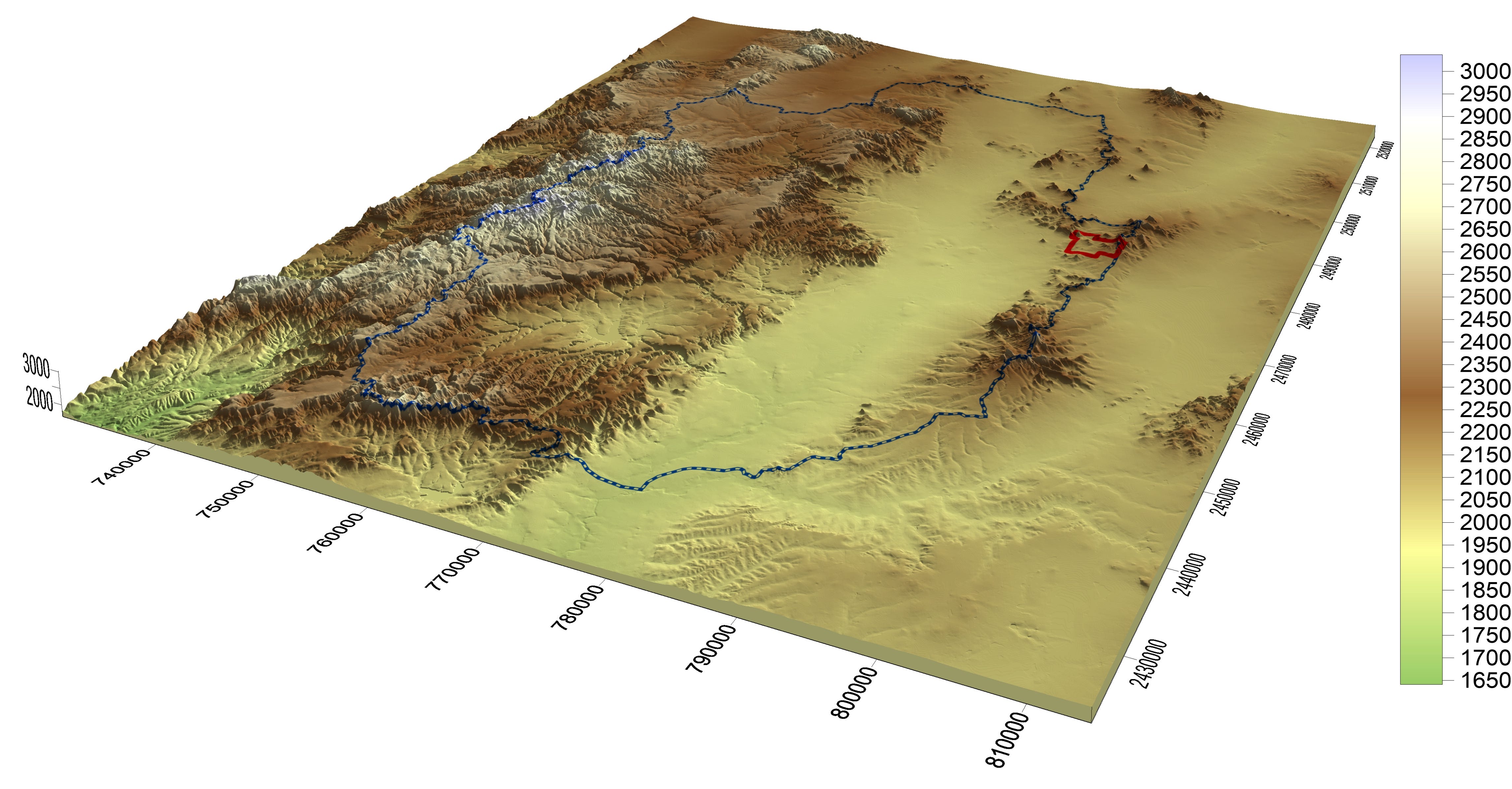
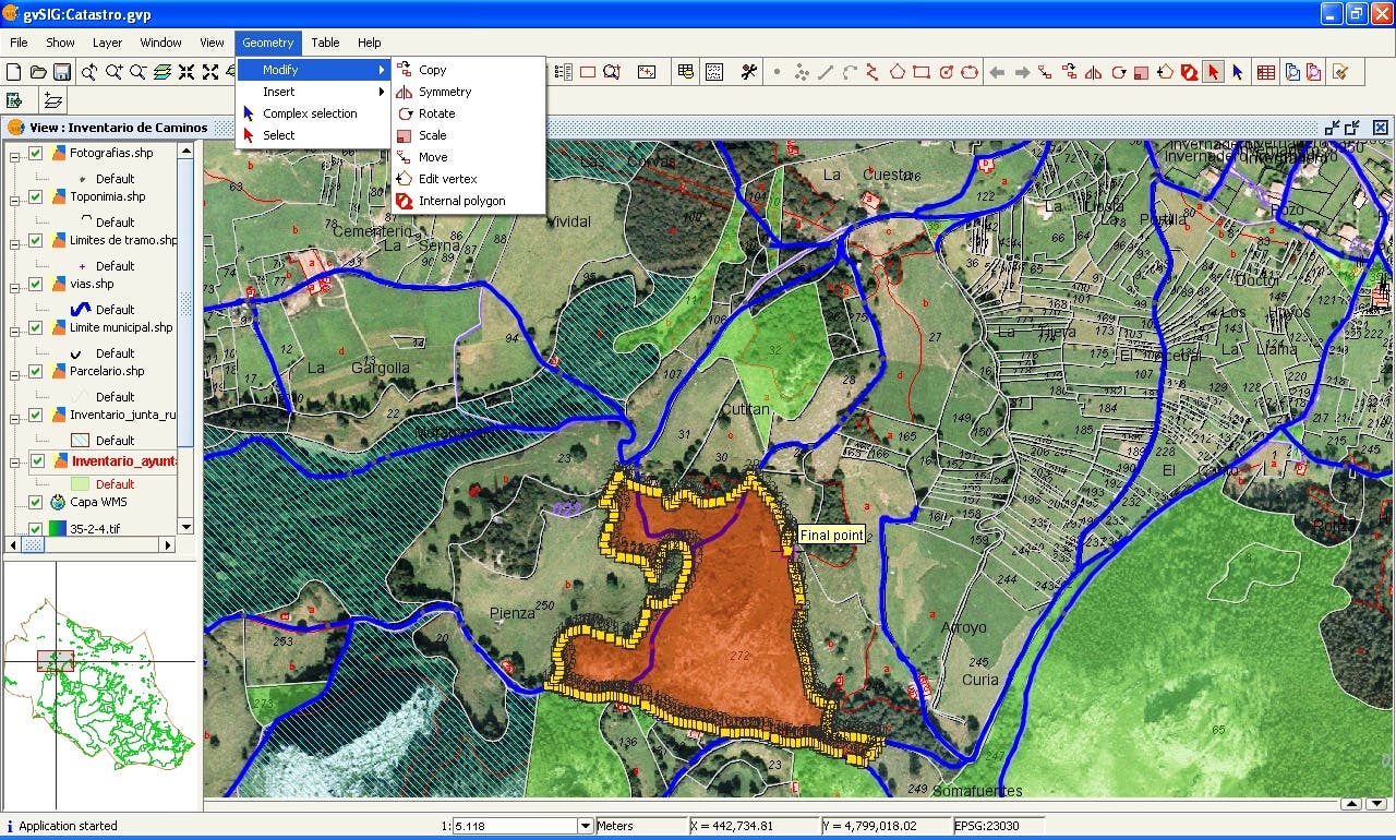
GIS
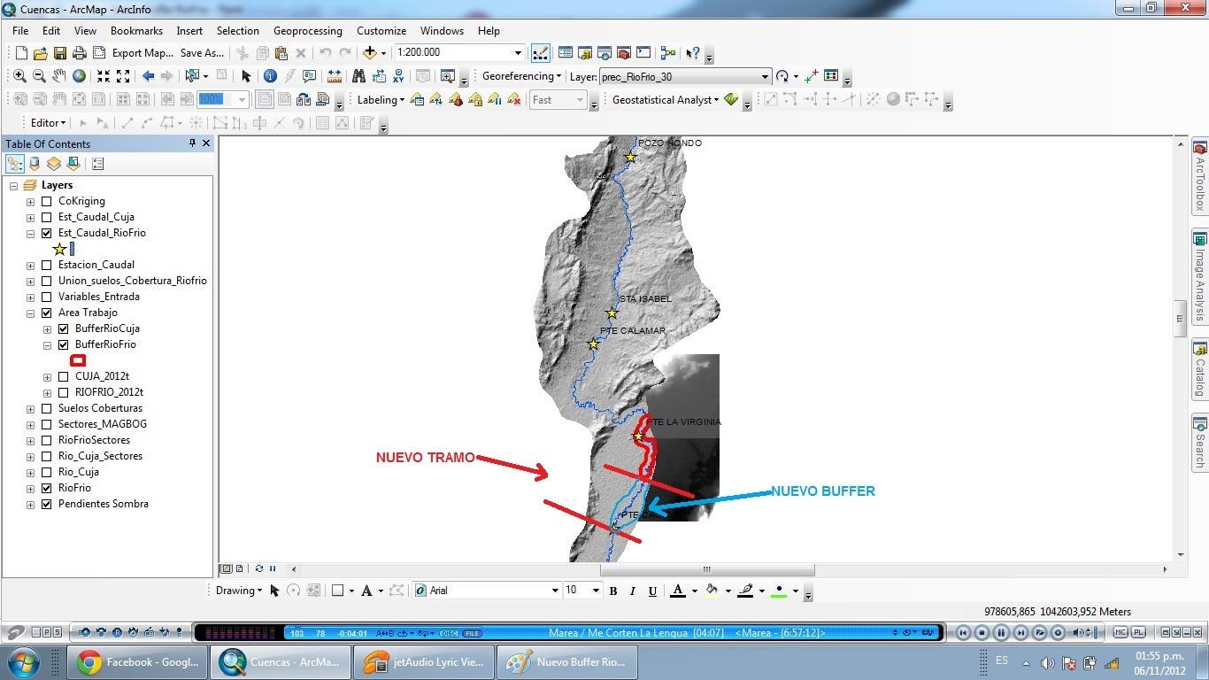

Create Informatión Geographic
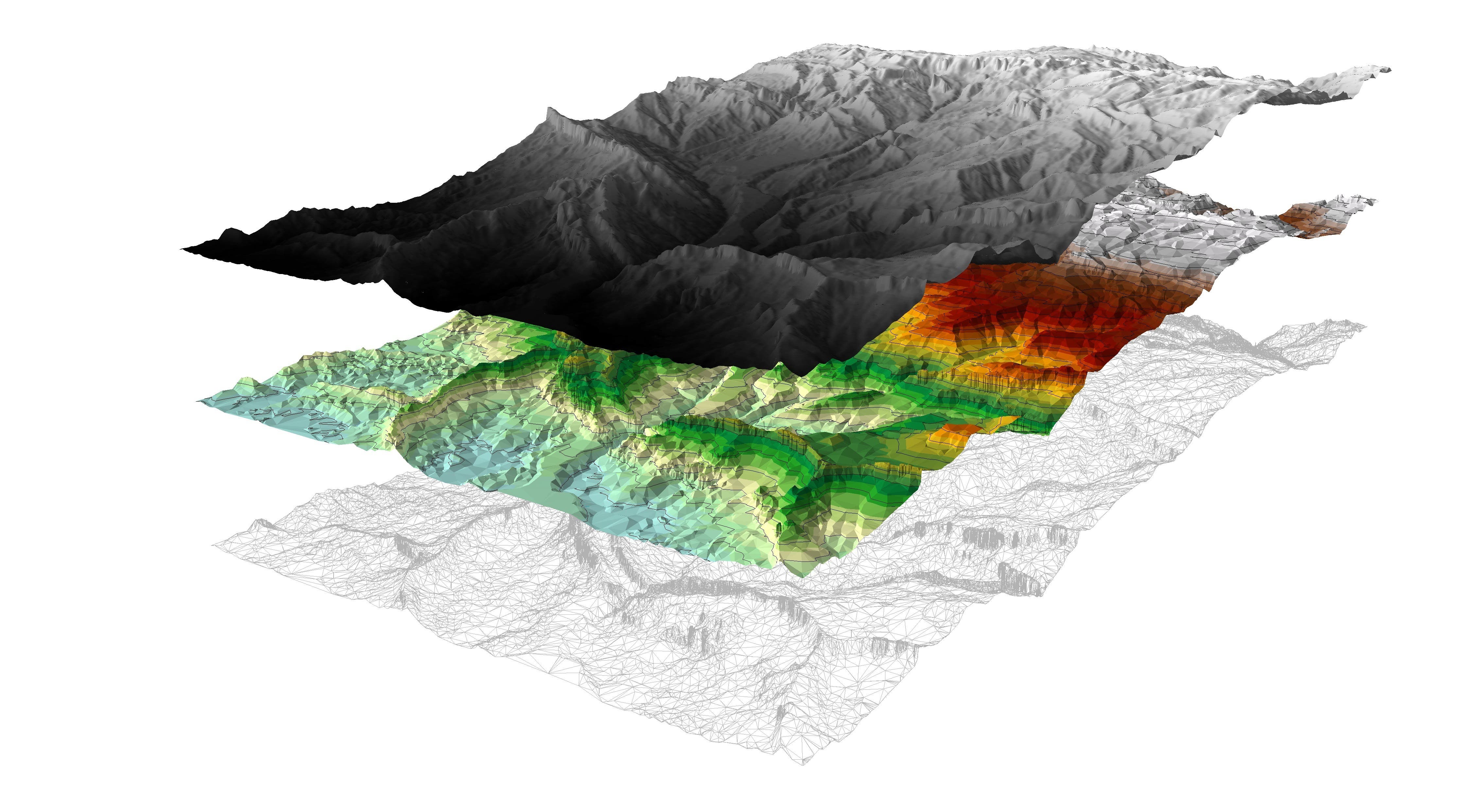

DEM
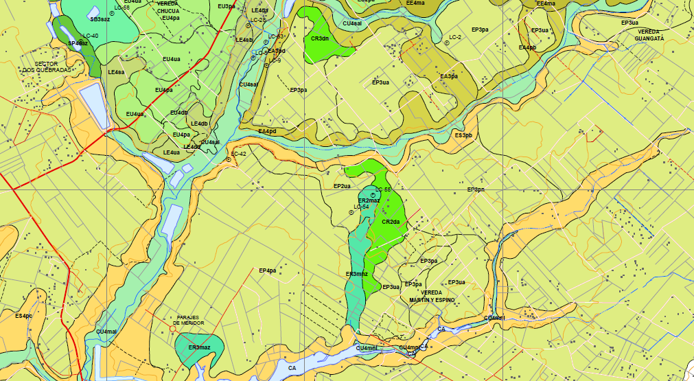

Análisis espacial
extract data
Data analysis
GIS
Create Informatión Geographic
DEM
Análisis espacial
Reviews
Changes saved
Showing 1 - 1 out of 1 reviews
$25.00 USD
Google Earth
Video Editing
N
•
Experience
Ingeniero Analista de procesamiento de imágenes de Satélite y Sistemas de Información Geográficos
Mar 2013 - May 2017 (4 years, 2 months)
Análisis, edición, procesamiento necesario para la interpretación y análisis de datos
alfanuméricos y geo-espaciales, imágenes y cartografía de acuerdo a las necesidades del
proyecto.
Ingeniero Analista de datos espaciales
Feb 2012 - Feb 2013 (1 year)
Análisis, acopio, revisión, clasificación y estructuración de información cartográfica y
alfanumérica existente en la subgerencia de promoción, seguimiento y asuntos étnicos
con el fin de consolidar el Sistema de Información Geográfico del Instituto.
Prestación de servicios profesionales
Jan 2011 - Dec 2012 (1 year, 11 months)
Prestación de servicios profesionales para hacer la edición, estructuración digital y
salidas finales de cartografía temática de la elaboración el mapa geopedológico a escala
1:100.000 de las regiones Orinoquía y Amazonía, como insumo para la elaboración del
mapa de ecosistemas continentales costeros y marinos a escala 1:100.000.
Education
Especialista en Sistemas de Información Geograficos
(1 year)
Ingeniero Catastral y Geodesta
(6 years)
Qualifications
Curso de Sistemas de Información Geográfica
Instituto Geográfico Nacional de España
2015
Instituto Geográfico Nacional de España
Curso de Sistemas de Información Geográfica
Geomedia Profesional 6.1
Level Intermediate of the Common European Framework in Reference For Languages
PASSPORT LANGUAGE CENTERS
2013
PASSPORT LANGUAGE CENTERS
Level Intermediate of the Common European Framework in Reference For Languages: Learning Assessment
Introduction to ArcGIS Server Image Extension
Procalculo PROSIS
2013
Procalculo PROSIS
ESRI’S Authorized Training Center
Introduction to ArcGIS Server Image Extension
Contact Omar P. about your job
Log in to discuss any details over chat.
Verifications
Top Skills
Browse Similar Freelancers
Browse Similar Showcases
Invite sent successfully!
Thanks! We’ve emailed you a link to claim your free credit.
Something went wrong while sending your email. Please try again.
Copy to clipboard failed, please try again after adjusting your permissions.
Copied to clipboard.
Loading preview
Permission granted for Geolocation.
Your login session has expired and you have been logged out. Please log in again.